Fountainstown Walks
|
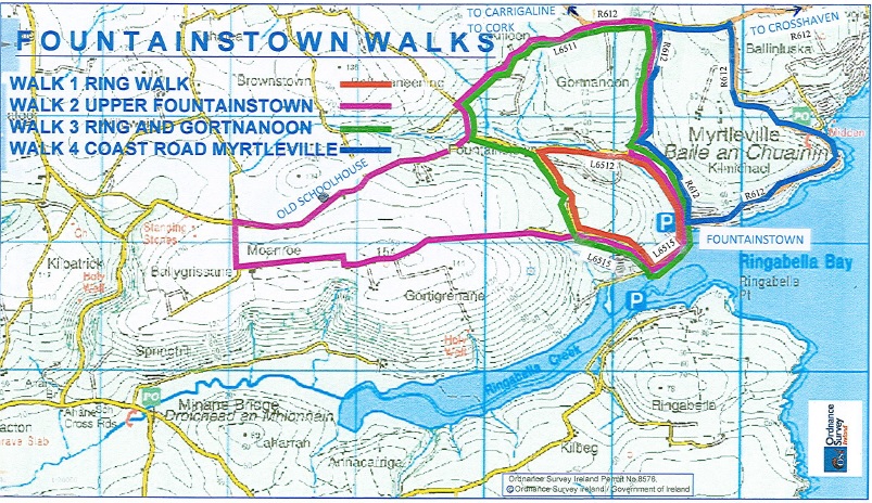
THE RING Approx. 3.5 km.
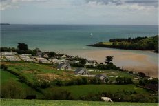
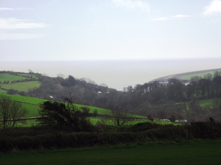
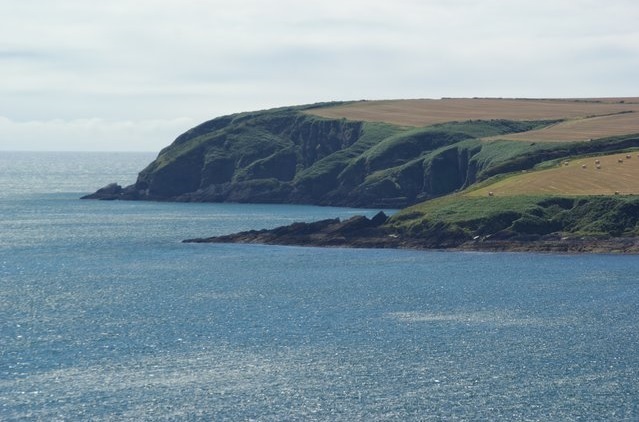
From the car park, walk west from the beach along the L6515. At the T junction (also marked with a Cul de Sac sign), take a right turn and go up this hill. When you reach the top of this hill, you will have scenic views of the harbour and Ringabella Creek (see photo on right). After walking for approx. 1.5 km, take a sharp right turn at the Y junction. This turn takes you onto a wooded road with a stream and waterfall. Along this road you will also have a view of Fountainstown house. At the next junction take a right turn onto R612 which will take you back into Fountainstown. |
|
Upper Fountainstown Approx 10 to 14 km (depending on route taken)
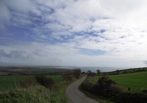
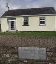
From the car park, walk west from the beach along the L6515. At the T junction (also marked by a Cul de Sac sign), take a right turn and go up this hill. When you reach the top of this hill, you will have scenic views of the harbour and Ringabella Creek. Approximately 100 meters from the top of this hill, take a left turn onto the North Boreen which takes you into the “Faheens”. A gradual climb will take you to an area 150 meters above sea level, giving spectacular views of the surrounding areas. Continue walking until you reach a crossroads. Take a right turn at this crossroads and continue walking along pastoral countryside. Along route, look out for the Old Fountainstown School House, located on the left had side of the road. This school house was built in 1889 and was open as a school until the 1960’s. The school is marked with a plaque on the stone wall outside the building. Beyond the school, continue downhill until you reach the bottom of this hill. At this point you can either: Immediately take a sharp left turn onto narrow lane and continue up hill until you get to a crossroads. At the crossroads take a right turn onto L6511. Stay on this road until you get to the Cork – Fountainstown (R612) turning right. From here you can follow sign posts back to Fountainstown beach. Or Continue for a further 500 meters until you get to a Y junction, taking a left turn. This turn takes you onto a wooded road with a stream and waterfall. Along this road you will also have a view of Fountainstown house. At the next junction take a right turn onto R612 which will take you back into Fountainstown. |
|
Ring/Gortnanoon Approx. 6km
From the car park, walk west from the beach along the L6515. At the T junction (also marked with a Cul de Sac sign), take a right turn and go up this hill. When you reach the top of this hill, you will have scenic views of the harbour and Ringabella Creek. After walking for approx. 1.5 km, continue left at the signpost for Minane Bridge. After 500 meters, turn right onto narrow lane and continue up hill until you get to a crossroads. At the crossroads take a right turn onto L6511. Stay on this road until you get to the Cork – Fountainstown (R612) turning right. From here you can follow sign posts back to Fountainstown beach. |
|
Coast Road/Myrtleville Approx. 5km
From the beach, walk uphill on R612 (hill beside shop) for 1.5 km until you reach Myrtleville. Wonderful sea and coastline views can be observed on road between Fountainstown and Myrtleville. If refreshments are required, Bunnyconnellans Bar can be located on entering Myrtleville. From Myrtleville walk uphill past O’Connell’s Shop and continue until you get to a T Junction (Rugby Club located across road). At this junction, turn left and continue downhill until you get to the next junction. Turn left here and follow sign posts from here to Fountainstown beach. |
